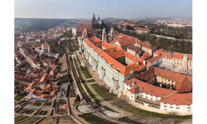
On 30th March 2017 the organizers of the XXIIIth ISPRS Congress together with members of Society for Photogrammetry and Remote Rensing met on the Vltava river boat Porto in order to remember important events of preparation and negotiations of the Congress that became a peak of activities of Czech photogrammetrists. The participants highly appreciated the hospitality of host Auletris company.



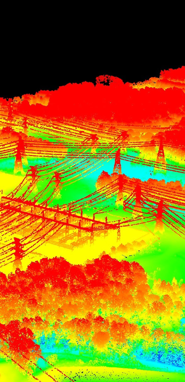 Airborne Lidar has matured over the last two decades into a mapping technology routinely used for 3D modelling of urban areas, capturing boreal forests, seabed mapping and many other applications all over the world. The speed with which the laser pulses are fired continues to soar and for a number of commercial systems it has reached the impressive number of one million pulses per second. Multiple pulses in air and (full) waveform digitisation are other developments which found their way to the users in recent years.
  Looking back, I have been able to carry out the priorities set at the beginning of my term. In 2000, when I was elected as Congress Director, my priority was to organise an excellent event that would be memorable in the minds of people for a long time and I can confess that I have achieved this goal, as I still meet many people around the world who thank me for the wonderful congress in 2004. Another interim goal that arose during my time as congress director was the request of young scientists to have their own programme at the congress, which resulted in the establishment of youth sessions and, after the congress, a summer school for more than 80 students. This became a sustained tradition at many ISPRS events and congresses and led to the establishment of a student consortium.
  What is geomatics? What is the geospatial industry? These are questions put to me quite regularly. Friends and family are interested in what I do in my daily life. They know that I work for a publishing company, on occasion they even know that we write about some kind of technology, and even rarer are those friends who remember that I “do something with geomatics”. OK, that’s nice! But doesn’t this say an awful lot about the status of the geospatial sector? Doesn’t this necessitate us to bridge the gap between the man on the street and geomatics?
  During the ISPRS Geospatial Week 2015 in La Grande Motte, France, the decision was taken to hold the next Geospatial Week in China, organised by Wuhan University. A strong Chinese delegation submitted a winning application to the panel and was successful in their bid. Wuhan University is the largest university in the field of photogrammetry, remote sensing and spatial science, with approximately 4,000 undergraduate and graduate students.