| HIGHLIGHTS: CAPACITY BUILDING | EDUCATION | 3D | CADASTRE |
|
|
Open Science Matters!
The second day of the ISPRS Congress in Prague kicked off with a highly relevant keynote presentation by Ms Heide Hackmann of the International Council for Science (ICSU). She told the audience passionately about the urgency of open science. The world faces great challenges and the society expects science to solve these problems. On the other hand, science itself is under pressure to reinvent itself and to re-energize its contact with the society. Hackmann calls for a global response and a significantly enriched collaboration within and between the scientific community. And beyond that, as the world of policy and business, and the public at large are also involved. Read on here |
|
|
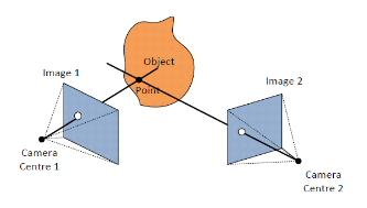
The Next Steps for 3D…
 10 years from now, a semantic-rich 3D virtual model of our environment will be available and continuously updated by citizens, companies and governments as well as by sensors that monitor air quality, temperature, noise, etc. With the up-to-date 3D virtual model, governments will be well-informed on the current state of our environment and will be able to accurately predict the impact on flooding, energy, safety, etc. in the case of an intervention (whether planned or not). In addition, citizens will be able to experience the impact of new infrastructures or a windmill using serious gaming. 3D building permits can automatically be checked against the 3D zoning plans and 3D city models, and the submitted 3D design data can be used to keep the virtual model up-to-date. Read on… 10 years from now, a semantic-rich 3D virtual model of our environment will be available and continuously updated by citizens, companies and governments as well as by sensors that monitor air quality, temperature, noise, etc. With the up-to-date 3D virtual model, governments will be well-informed on the current state of our environment and will be able to accurately predict the impact on flooding, energy, safety, etc. in the case of an intervention (whether planned or not). In addition, citizens will be able to experience the impact of new infrastructures or a windmill using serious gaming. 3D building permits can automatically be checked against the 3D zoning plans and 3D city models, and the submitted 3D design data can be used to keep the virtual model up-to-date. Read on…
|
|
 |
– advertorial –
Phase One Industrial: Medium format, metric cameras for aerial photography
Phase One cameras are known for their image quality, accuracy and easy integration with leading flight management systems, IMU/GNSS receivers and all popular Lidar systems. Phase One is dedicated to research, development and manufacturing of these solutions for the surveying industry.Phase One’s flagship camera series, (iXU 1000), incorporates a 100 MP CMOS sensor and offers large format coverage at medium format size and price. These cameras are distinguished by their high resolution, wide ISO range and fast capture rate.
With a wide choice of lenses, Phase One offers solutions for everything from small UAVs up to large manned aircraft.
Come and see us at stand no. 36 for a chat and view our winning digital medium format cameras.
|
|
|
Monitoring Phenology of Low Floodplain Vegetation
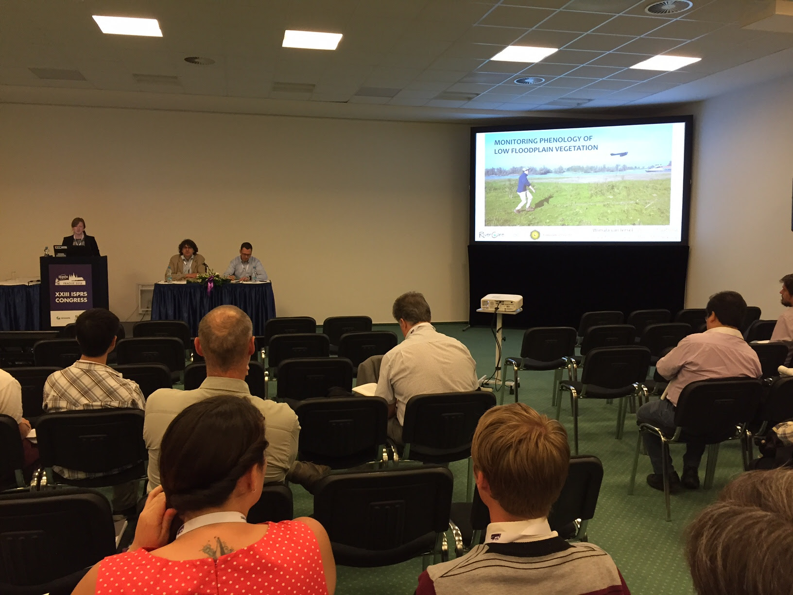 Why would you monitor floodplains? This is a question you don’t have to ask a Dutchman. The Dutch have been living in their delta for centuries and are champions when it comes to flood water levels. Hydraulically rough vegetation types can lead to higher flood water levels during peak discharges, so that’s a good reason to monitor, but to measure the ecological value is another one. On Wednesday 13 July, Wimala van Iersel from the University of Utrecht presented the findings of her study, showing the performance of multi-temporal, high-resolution Unmanned Aerial Vehicles (UAV) imagery for analysing temporal height profiles of grassland and herbaceous vegetation in river floodplains. Read on… Why would you monitor floodplains? This is a question you don’t have to ask a Dutchman. The Dutch have been living in their delta for centuries and are champions when it comes to flood water levels. Hydraulically rough vegetation types can lead to higher flood water levels during peak discharges, so that’s a good reason to monitor, but to measure the ecological value is another one. On Wednesday 13 July, Wimala van Iersel from the University of Utrecht presented the findings of her study, showing the performance of multi-temporal, high-resolution Unmanned Aerial Vehicles (UAV) imagery for analysing temporal height profiles of grassland and herbaceous vegetation in river floodplains. Read on…
|
|
Dubai at Forefront of Utilising Geospatial Technologies
Dubai Municipality has decided to participate as a sponsor and exhibitor at the XXIII ISPRS Congress in Prague. Dubai Municipality has always been at the forefront of utilising and propagating the use of geospatial technologies. Read on… |
|
|
National Mapping Agency Forum
National mapping and cadastre agencies provide geospatial data of various levels of detail, types, and scales, which form the basis of today’s geospatial data infrastructure – an indispensable national asset for sustainable development of the country and many other applications. Read on… |
|
|
UAS Survey of Easter Island
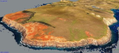
Unmanned aerial systems (UASs) can be easily transported and this beneficial feature is ideal for photogrammetric surveys of remote spaces. Rapa Nui, the most isolated inhabited place on the planet, took UAS photogrammetry to the limit because of cloud cover, windy weather conditions and the vast size of the island. The resulting orthoimagery and digital surface models will support archaeological documentation and research. The archaeological features will be archived in a single, detailed database. Read on… |
|
|
| Wanna play football?
Friday – 6 pm
All participants are invited to come along and take part, whether you’re in a competitive mood or just looking to play a friendly game. It is a great opportunity to stretch your legs after the all-day meetings at the Congress and an excellent way of relaxing in a friendly atmosphere.Enjoy the evening football game just one stop by train from the Congress Centre.
Just 5 minutes from Pražského povstání metro station is a multi-purpose sport field with artificial grass and evening lights, Dekanka areal.
Come and play with other participants or just come and watch the Congress match.
There is no admission fee and everybody is welcome to come, and a few congress souvenirs will be waiting for you there. |
|
|
|




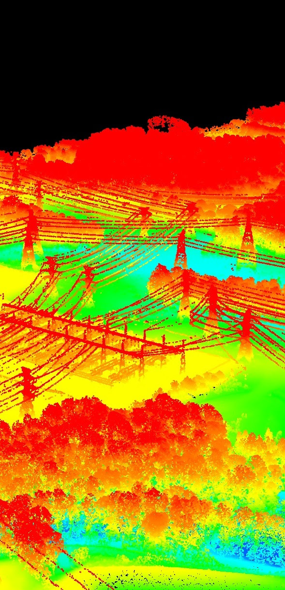 Airborne Lidar has matured over the last two decades into a mapping technology routinely used for 3D modelling of urban areas, capturing boreal forests, seabed mapping and many other applications all over the world. The speed with which the laser pulses are fired continues to soar and for a number of commercial systems it has reached the impressive number of one million pulses per second. Multiple pulses in air and (full) waveform digitisation are other developments which found their way to the users in recent years.
 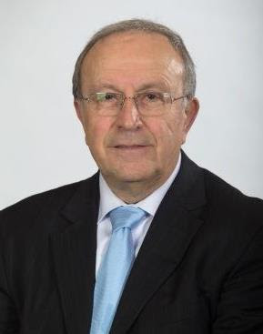 Looking back, I have been able to carry out the priorities set at the beginning of my term. In 2000, when I was elected as Congress Director, my priority was to organise an excellent event that would be memorable in the minds of people for a long time and I can confess that I have achieved this goal, as I still meet many people around the world who thank me for the wonderful congress in 2004. Another interim goal that arose during my time as congress director was the request of young scientists to have their own programme at the congress, which resulted in the establishment of youth sessions and, after the congress, a summer school for more than 80 students. This became a sustained tradition at many ISPRS events and congresses and led to the establishment of a student consortium.
 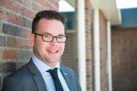 What is geomatics? What is the geospatial industry? These are questions put to me quite regularly. Friends and family are interested in what I do in my daily life. They know that I work for a publishing company, on occasion they even know that we write about some kind of technology, and even rarer are those friends who remember that I “do something with geomatics”. OK, that’s nice! But doesn’t this say an awful lot about the status of the geospatial sector? Doesn’t this necessitate us to bridge the gap between the man on the street and geomatics?
 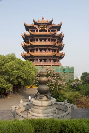 During the ISPRS Geospatial Week 2015 in La Grande Motte, France, the decision was taken to hold the next Geospatial Week in China, organised by Wuhan University. A strong Chinese delegation submitted a winning application to the panel and was successful in their bid. Wuhan University is the largest university in the field of photogrammetry, remote sensing and spatial science, with approximately 4,000 undergraduate and graduate students.